It was lightly raining as I dozed off, and while there were random flashes of lightning, the thunder was very muffled and distant. I woke up around 1 am, and by then the rain had stopped. While I was awake, I shifted my recharging devices; my GPS and 1 tail light were fully charged, so I swapped them out with a second taillight and a headlight. This would be my pattern for the rest of the trip, charging stuff overnight from power packs charged during the day.
 |
| Morning view of the Mississinewa Valley, from the the dam. |
I woke without an alarm a little before 6:45, and checked the weather. There would be a chance of thunderstorms and partly cloudy skies, and temps in the 80s, about what you expect for July in Indiana. Next I pulled out the days kit, and the shorts and shirt I had slept in went into the ziplock bag I had just emptied. That bag then went into the large mesh stuff sack of clothing (an assortment of ziplock bags) and that in turn went into the rear pannier I had designated as my closet. The packed pannier then went out on to the “porch” just outside the door of my tent.
For my last couple of trips I have carried a 4’ square piece of polypropylene tarp. I call it my porch, because I put it right outside the side door of my tent. As I transition things from bike to tent and tent to bike, this porch keeps them clean, and it can be easily dragged around while setting and breaking camp. The first pannier was soon followed by the my front panniers, one with my packed sleeping bag, the other my rolled up sleeping pad. Last out was my kitchen pannier and handlebar/camera bag, followed by me and a few remaining odds and ends.
I soon had my Jetboil up and running on the picnic table, and poured the boiling water into my breakfast meal. While the breakfast was cooking, I pulled out my iPad, and uploaded then last 24 hours of photos, typed some notes and a post has I ate my scrambled eggs and fresh fruit. I also sliced one of the large apple from yesterday’s shopping and bagged it for snacking during the day. With breakfast complete and my kitchen packed, It was then time to collapse the tent and begin the final packing and loading. It was a just before 9 when I was ready top off water bottles, brush my teeth, and drop off my trash on my way out of the campground.
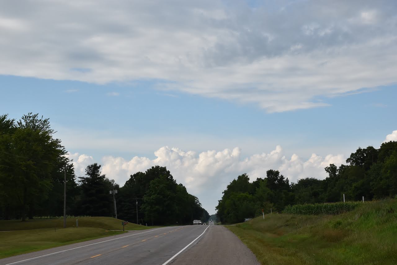
 |
| A break from beans and corn. |
My first town of the day was Wabash at 16 miles, where I also crossed the Wabash River, another little milestone. All told, I (along with Linda) have ridden almost the full length of the Wabash from Huntington, Indiana, to where it joins the Ohio River in Illinois. That is over 400 of miles on dozen different rides and tours. I next found a quick shop, and two more Gatorade caps went into the mesh pocket on my front pannier, joining the 2 from the day before.
 |
| At the Wabash River. |
On the main street through town, I found a little coffee shop, Modoc’s Market, that had been recommended by some locals I chatted with during my photo stop at the river. It had already been 3 hours since breakfast, and it was going to be another 25 miles to the next town, so I settled in for an early lunch of a turkey and avocado wrap with a delicious coffee & hot chocolate mix drink.
While I was eating, I charged my 3 power packs, my GPS and my phone, and uploaded more photos through my iPad. I had a nice conversation with the owner of Modoc’s, and it seemed like almost everybody I met in Wabash was involved with the DamToDam ride in September, which I had ridden in 2018. And again, everyone was interested in my trip and offered encouragement, which was nice.
 |
| Powering up at lunch at Modoc's in Wabash |
With body and batteries recharged, I left town and climbed out of the Wabash valley on the steepest grades of the trip. There was another photo op of the city court house overlooking the town and the valley below. As passed the city limits, I once again found myself tweaking my saved Google maps route, moving off of the suggested state routes to county roads when available. The Google Maps “bike” choices are not too bad, but tend to ignore county grid roads if a small town is not specified. This method would work out quite well in the days ahead.
 |
| Easy rolling north of Wabash |
As I expected, there were no meal opportunities along the way, but I was able to add to more Gatorade caps and some snacks at a Dollar General in South Whitley. I then started a long stretch heading east by north east to Columbia City, my last town out for day 2 with 50+ miles in. On the north side of town I found a Kroger, and picked another couple day’s worth of fresh fruit to supplement my backpacking meals.
From Columbia City I went north on State Road 9. There didn’t seem to be many side rode options, but thankfully I had a paved 6 foot shoulder for the 18 miles to the park entrance. I was most surprised by the terrain, a series of long rolling hills forested hills, which seemed more like northern Michigan, rather than Indiana. For a while, it looked like I was going to be rained on again, but my steady 13-14 mph pace allowed to me edge around a front that passed to my west, just catching the edge of a light rain while under blue sky’s. When I finally reached the park entrance, I had another 3 miles added to my day, as it was that far in to the actual campground. I checked in and rode on to my next camp site.
It had been a great day of riding, never too hot, too windy or too wet. I had already ridden over 150 miles and was overnighting somewhere new. I began my post-ride routine, looking forward to a night’s rest and the new roads in days ahead.
Day 2: Miami State Recreation Area to Chain of Lakes State Park, Albion, IN (July 22)
- 75.2 Miles
- 153.5 Trip Total
- Total Time 09:40:01
- Moving Time 06:09:31
- Avg. Speed 12.2 mph
 |
| A beautiful afternoon to ride |
 |
| SR 9, north of Columbia City |
 |
| The Wabash Court House |
Looks like fun although I would definitely be too saddle sore to continue beyond the first day.
ReplyDelete